The Region
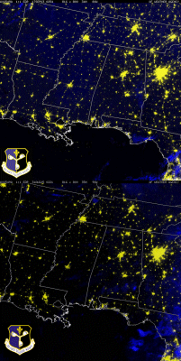
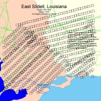
Katrina struck a wide region of our country, ranging from Alabama through Louisiana. Over 23,000 square miles was decimated by the hurricane. Below, are a few tools for you to try and get a glimpse of the devastation dealt to the region. Click on the images for more information.
Just south of Kiln, Mississippi is the area that took the eye of the storm. The worst damage was taken just east of the eye, meaning the Gulfport/Waveland/Bay St. Louis/Biloxi areas. This is where the storm surge hammered in, with up to a 30 foot storm surge. By clicking on the picture on the left, you can use it's interactive features to see before and after photos of the area. (Give each image a bit of time to load, so you can "mouse-over" and see the before/after images.) For your reference, Kiln is not listed on the map, but is about 10 miles north of Buccaneer State Park, slightly left of the Y in the map on Highway 43. As you can see, this is only a few miles west of the eye of the storm.
Rare picture show of before and after shots of homes & businesses around Bay-St. Louis. This will bring up a webpage - click on the picture there to start the slideshow.

FEMA's site for information & resources on the Katrina disaster.
United States Department of Health & Human Services resources for Katrina.

The EPA's responses and activities.

Wikipedia's Katrina articles.
An USA TODAY article on the regions health-care situation
